At Smartware Technologies (P) Limited, we offer a comprehensive suite of geospatial and surveying services designed to empower
decision-making, enhance operational efficiency, and support data-driven governance. Our services cater
to both government bodies and enterprises, helping them harness the power of location intelligence and
geospatial technologies.
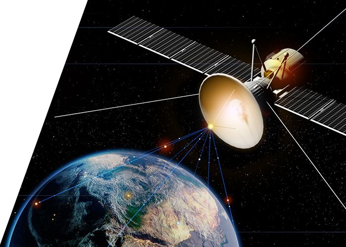
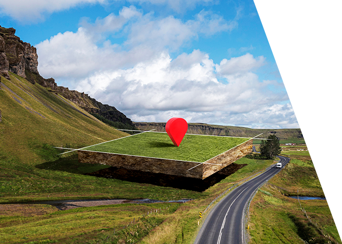
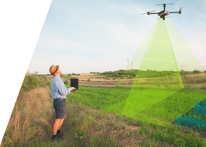
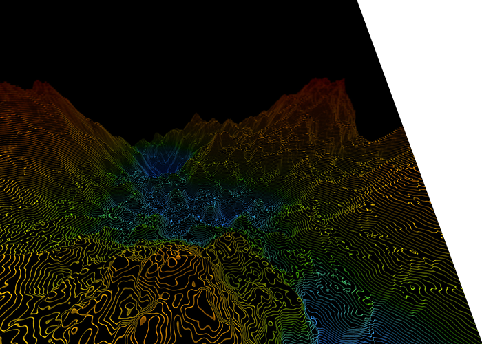
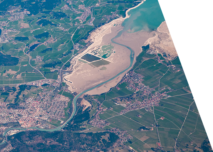
Geospatial Mapping & Surveying
We deliver precise, large-scale mapping solutions using advanced techniques:
Topographical & Cadastral Surveying
Drone / UAV-based Surveys
Total Station & DGPS Surveys
Bathymetric and Hydrographic Surveys
Utility and Infrastructure Mapping
Remote Sensing & Image Analysis
Utilizing satellite imagery and aerial data for deep spatial insights:
Satellite Image Processing & Classification
Land Use / Land Cover (LULC) Mapping
Change Detection & Temporal Analysis
Vegetation, Soil, and Water Body Mapping
LiDAR & Aerial Survey Solutions
High-resolution terrain and structural data through:
Airborne and Terrestrial LiDAR Surveys
3D City Modeling
Digital Elevation Models (DEM/DSM)
Corridor and Infrastructure Mapping
Photogrammetry
Transforming aerial imagery into actionable data:
Orthophoto Generation
Contour Mapping
3D Feature Extraction
Urban & Rural Planning Base Maps
GIS Application Development
Custom GIS platforms and analytics tools tailored to your needs:
Web & Mobile GIS Applications
Interactive Mapping Portals
Thematic Map Generation
GIS-based Decision Support Systems (DSS)
ICT & e-Governance Solutions
Technology integration for transparent and efficient governance:
Land Records Digitization & Management
Property Tax GIS Mapping
Smart City GIS Integration
Utility Asset Management Systems
Spatial Data Analytics & Insights
Unlocking the value in spatial data for strategic planning:
Geospatial Big Data Processing
Predictive Location Analytics
Heatmaps, Proximity, and Cluster Analysis
Market Potential & Site Suitability Studies
Consulting & Capacity Building
Expert guidance and training in geospatial implementation:
Geospatial Strategy Consulting
System Integration and Project Management
Workshops & Training for Govt. Officials and Planners
Policy Support for National Mapping Frameworks
Whether you're planning infrastructure, streamlining governance, or building next-gen digital platforms,
Smartware Technologies (P) Limited brings the tools, talent, and technology to turn location data into actionable intelligence.